Page 1 of 1
Western Washington Flooding
Posted: Sun Dec 12, 2010 10:50 am
by Marc Martyn
Record flood levels are expected for several west side rivers in the couple of days. Post any pictures or comments you have on area rivers.
http://waterdata.usgs.gov/wa/nwis/curre ... p_key=NONE
RE:Western Washington Flooding
Posted: Sun Dec 12, 2010 10:59 am
by scott080379
I will be out and about today not by any rivers but by a few creeks that flood all the time......will take the camera with me
RE:Western Washington Flooding
Posted: Sun Dec 12, 2010 11:14 am
by curado
sky is at 45000 cfs
RE:Western Washington Flooding
Posted: Sun Dec 12, 2010 12:40 pm
by JWS
I had to get out this morning so I headed for the sky, big mistake. Got to reiter and walked down to the water which was already running at a hair below 14,000cfs. Left there and went to the Pilchuk which was blown out as well. The water at reiter was really moving this morning can't imagine what it looks like at 45,000cfs.
RE:Western Washington Flooding
Posted: Sun Dec 12, 2010 5:03 pm
by kzoo
JWS wrote:I had to get out this morning so I headed for the sky, big mistake. Got to reiter and walked down to the water which was already running at a hair below 14,000cfs. Left there and went to the Pilchuk which was blown out as well. The water at reiter was really moving this morning can't imagine what it looks like at 45,000cfs.
You were probably fishing in the trees at Reiter! Have any photos, I'm curious what the place looks like, I've been there when the river is at 10'.
RE:Western Washington Flooding
Posted: Sun Dec 12, 2010 10:22 pm
by curado
anybody wanna go tubing
RE:Western Washington Flooding
Posted: Mon Dec 13, 2010 8:00 am
by G-Man
The Sammamish crested yesterday afternoon about 2' below the top of our loading dock whose drain outlets directly to the Slough. I'll see if I can't run over and get a pic of the launch at the State Park. According to the gauging station there, the docks should be about 2.5' to 3' under water. Good thing they lower Lake Washington a couple of feet every winter otherwise I'm sure we would have been sandbagging to keep our facility dry.
RE:Western Washington Flooding
Posted: Mon Dec 13, 2010 9:01 am
by bionic_one
What kind of effect does this have on salmon eggs?
RE:Western Washington Flooding
Posted: Mon Dec 13, 2010 9:41 am
by G-Man
They either get washed away or covered with more gravel or silt. If they get washed away there is a slight possibility that a few will hatch. If they get covered up with an excess of material they most likely won't get the oxygen needed to hatch and any fry that did hatch wouldn't be able to worm their way to the surface and escape the redd.
RE:Western Washington Flooding
Posted: Mon Dec 13, 2010 9:58 am
by racfish
Time for Plunking!!!!!
RE:Western Washington Flooding
Posted: Mon Dec 13, 2010 2:06 pm
by G-Man
Ok, so these aren't pics of a river, however some will have reason to rejoice after seeing them. I took a drive around Lk Sammamish for lunch today and I'll admit that I felt pleasure in seeing the lake temporarily encroach on high end waterfront homes. There is reason to rejoice though as it would appear that at least 3
floating docks will be installed in the very near future. Currently the surface of the fixed docks sits at about 27.5', the fist pick shows the current lake level at just under 30'. Second pick is of the launch area where one would expect to see the 6 docks. The arrow is pointing to a white marker attached to the end of one dock so folks have an idea of where not to drive their boat, I've also added an outline of one of the submerged docks. Third pic is actual proof that floating docks are coming to the State Park! Just in case anyone is interested, the following link will give you current lake height that corresponds with the gauge seen in pic number 1:
Lake Sammamish Water Level
RE:Western Washington Flooding
Posted: Mon Dec 13, 2010 5:49 pm
by Matt
bionic_one wrote:What kind of effect does this have on salmon eggs?
There are a few key factors that increased/excessive flows will have on rearing salmonid smolts in the gravel. Fertilized eggs and alevins still in the gravel that have not emerged yet are subject to scouring by increased currents and substrate movement. Also, if the gravel stays put increased turbidity can clog up the space between the gravel causing a lack of fresh water and oxygen through the substrate suffocating the eggs. Another key factor is the creation of new channels and alteration of old ones. If rearing areas become cutoff from the river, or destroyed completely, all redds in that area will be lost. Another factor to consider is that over-wintering smolts have a hard time dealing with the elevated turbidity levels, and the extreme nature of the rapidly changing environment.
Overall, rain on snow events and massive overland water movement can be very detrimental to native stocks.
RE:Western Washington Flooding
Posted: Mon Dec 13, 2010 6:06 pm
by Coastfishin
I guess we got lucky down here, the flooding isn't any worse than it normally is. The rivers are dropping pretty fast already
RE:Western Washington Flooding
Posted: Mon Dec 13, 2010 7:15 pm
by Matt
It is continuing to DUMP up around Arlington as we speak. The stilly came down a bit today but my guess is that it is back up over the banks once again.
RE:Western Washington Flooding
Posted: Mon Dec 13, 2010 9:21 pm
by natetreat
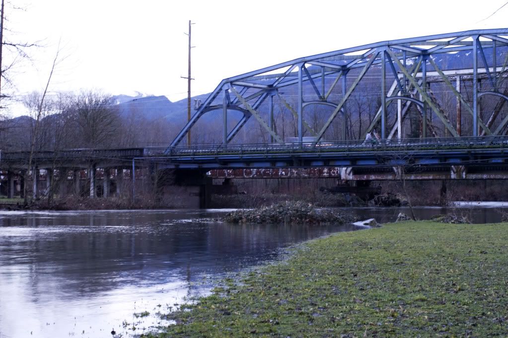
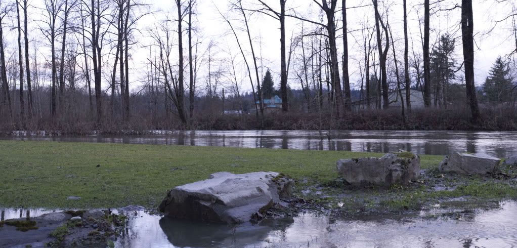
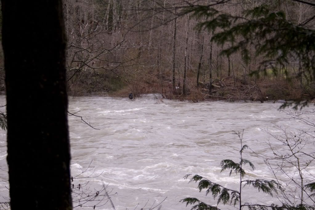
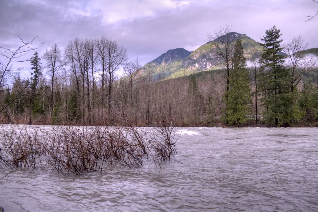
Here are some photos I took today of the Sky valley rivers, put 'em in winter steel too.
This is the highway 2 bridge over the sultan, it was pretty gnarly.

The Sultan river at sportsmens park.

This guy was the only one brave enough to fish at Reiter. I can't believe it, I wonder if he caught anything.

This is how high the water was on the highway 2 side

RE:Western Washington Flooding
Posted: Mon Dec 13, 2010 9:52 pm
by kevinb
I really like the last pic,very scenic
RE:Western Washington Flooding
Posted: Mon Dec 13, 2010 11:11 pm
by Matt
Check out this video, its of the stilly up at granite falls. I saw this link on another forum. I heard that the stilly and several other area rivers are set to reach ALL TIME record high flood levels in the next few days.
QPs-Ggmk6JA
RE:Western Washington Flooding
Posted: Tue Dec 14, 2010 12:15 am
by salmonslayer117
It's been just brutal on the rivers these past few days. I cross the puyallup and the green on my way to work not to mention I work right on the duwamish (our warehouse is built half over the water). Driving in today and seeing both rivers at the top of the banks was troubling. Let's just hope we get lucky on this one...
RE:Western Washington Flooding
Posted: Tue Dec 14, 2010 7:29 am
by Marc Martyn
Matt wrote:Check out this video, its of the stilly up at granite falls. I saw this link on another forum. I heard that the stilly and several other area rivers are set to reach ALL TIME record high flood levels in the next few days.
QPs-Ggmk6JA
As compared to this.......
31-yHKU6oFQ&feature=related
RE:Western Washington Flooding
Posted: Tue Dec 14, 2010 7:44 am
by scott080379
That's crazy......well people wanted rain to bring in the fish.....to bad this will wipe out the run for in a couple years. hey on the bright side we should have a great pink run next year.......CRAP!


